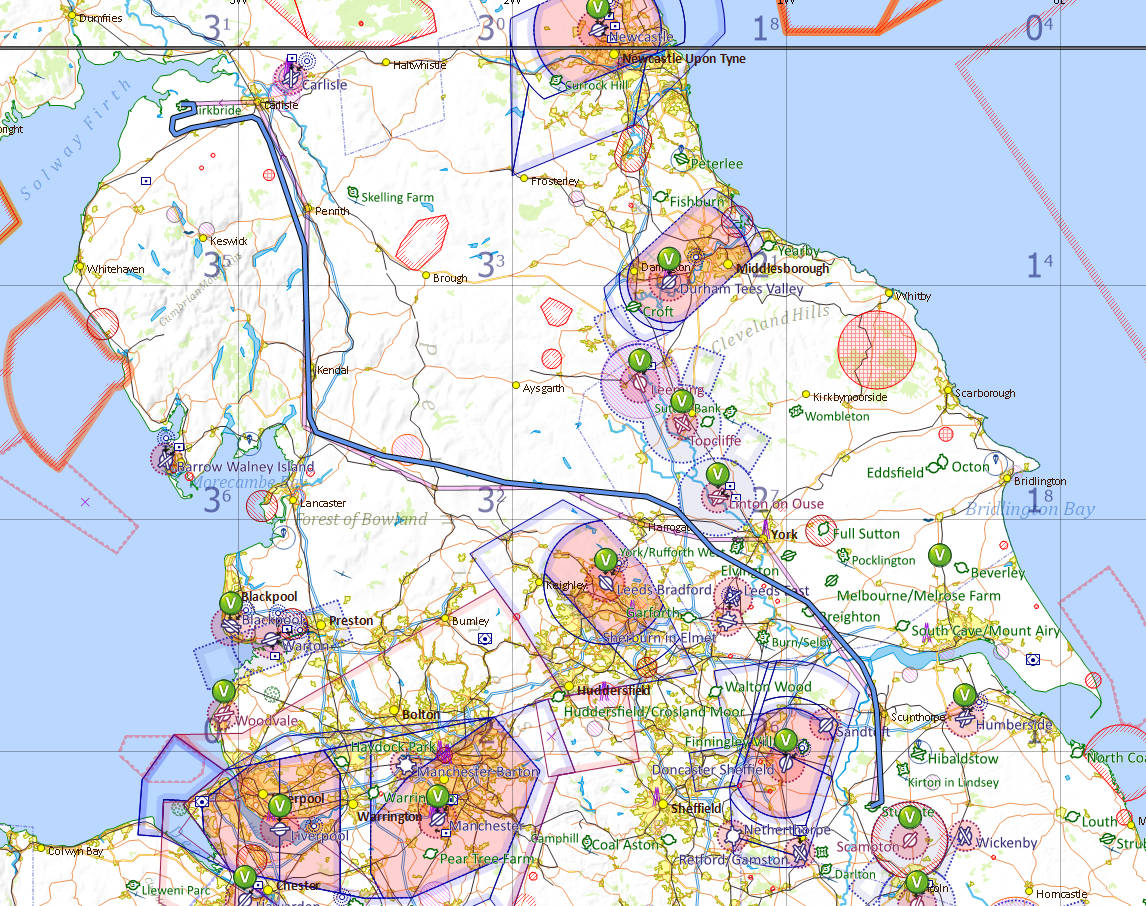
Over the Pennines
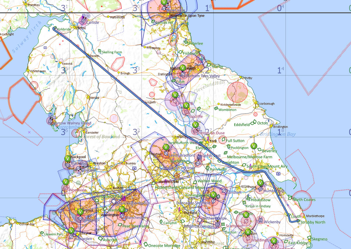
Unable to start the fuel bowser at Strubby, we were forced to make a refuelling stop at Sturgate before heading west then north for Kirkbride, just a few miles west of Carlisle.
| Sturgate flight log | Distance flown 40 nautical miles |
|---|---|
| Maximum altitude 2,071 feet | Flight time 27 minutes |
| Maximum speed 105 knots | Average speed 88 knots |
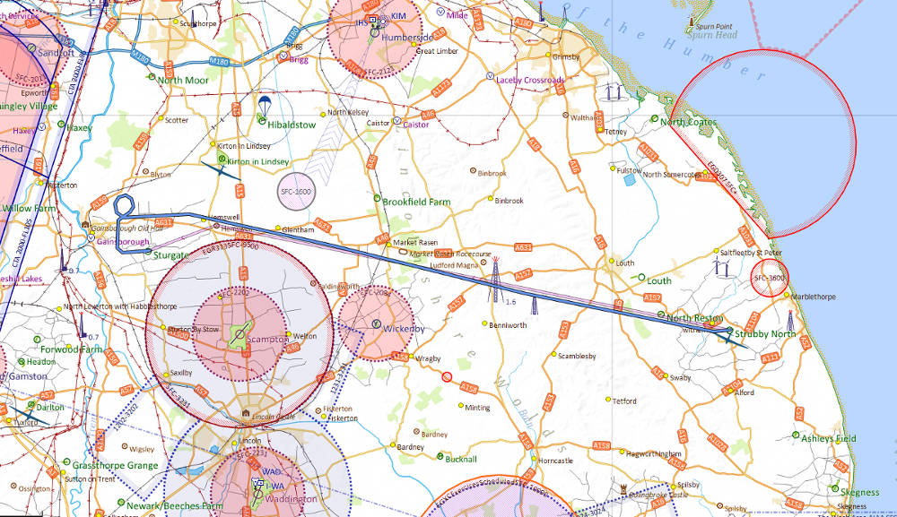
| Kirkbride flight log | Distance flown 165 nautical miles |
|---|---|
| Maximum altitude 6,581 feet | Flight time 1 hour 45 minutes |
| Maximum speed 115 knots | Average speed 91 knots |
| Strubby flight log | Distance flown 161 nautical miles |
|---|---|
| Maximum altitude 6,991 feet | Flight time 1 hour 47 minutes |
| Maximum speed 103 knots | Average speed 90 knots |
Photos
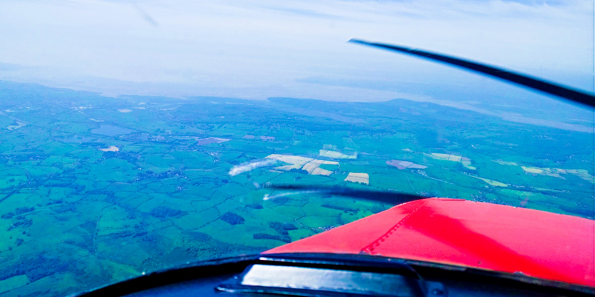
Approaching south Pennines
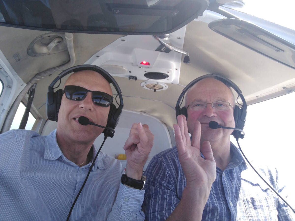
Kev negotiates the cloud
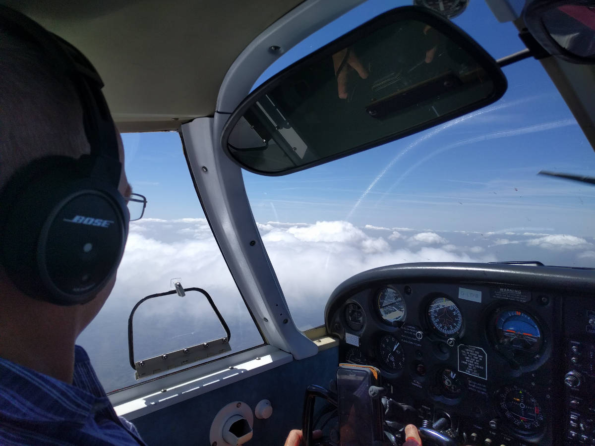
Kev reaches new heights
Morecambe Bay ahead
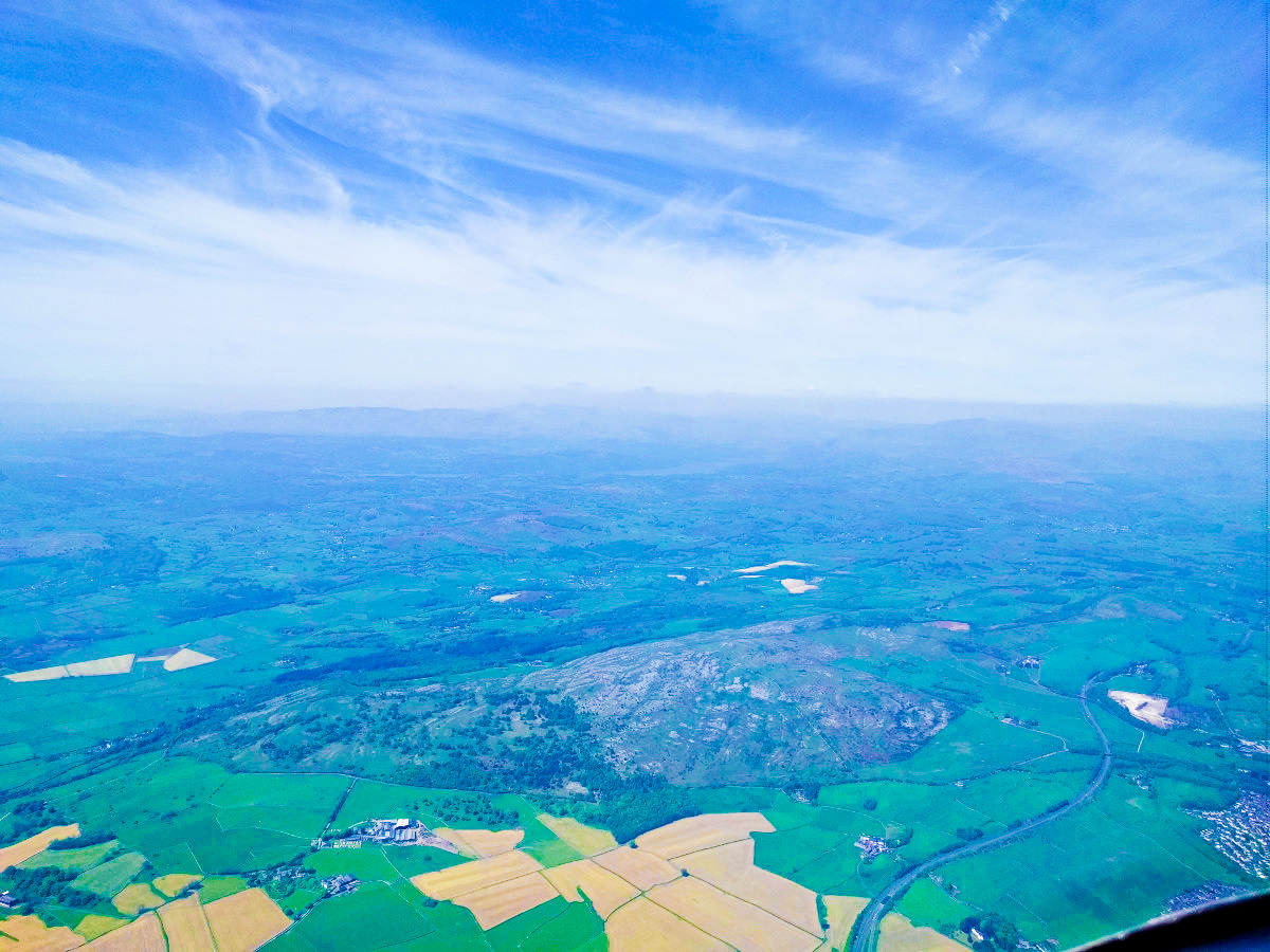
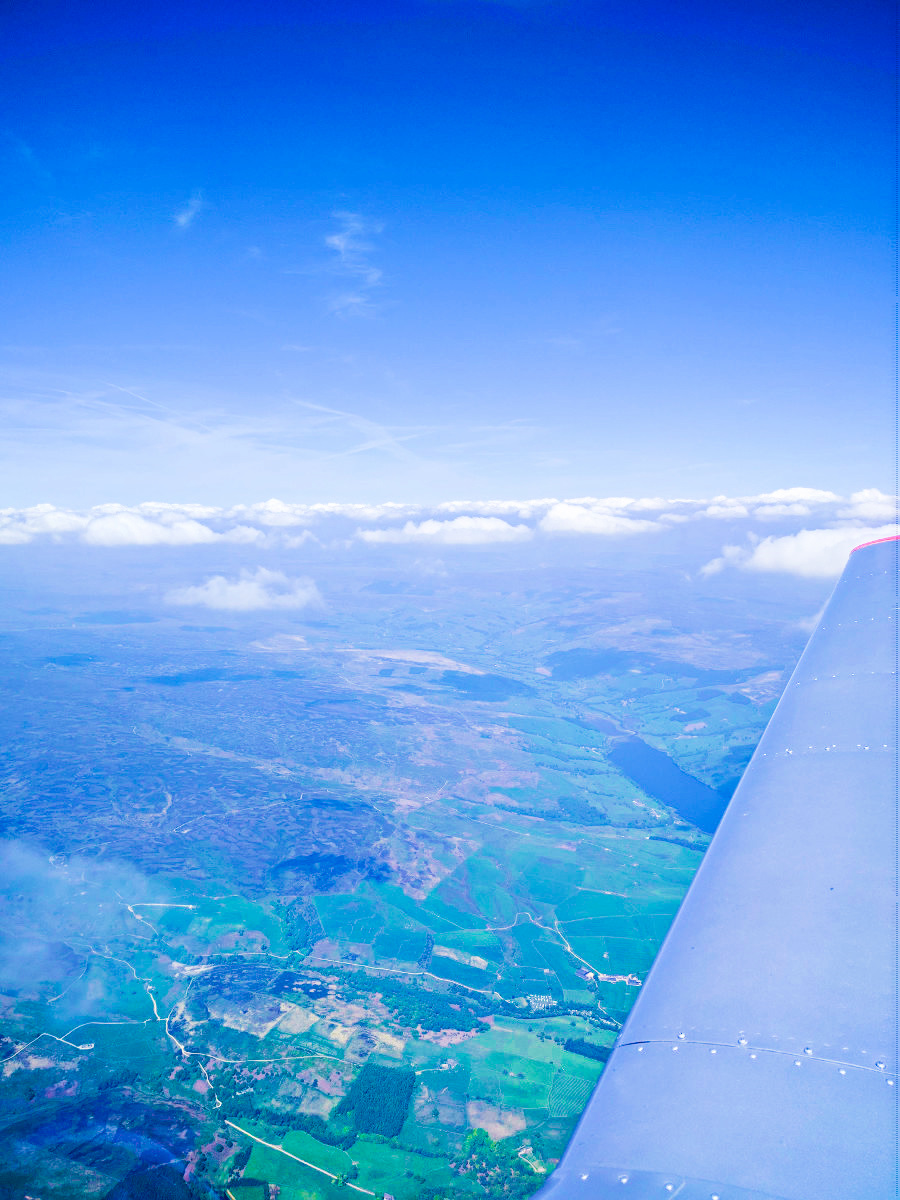
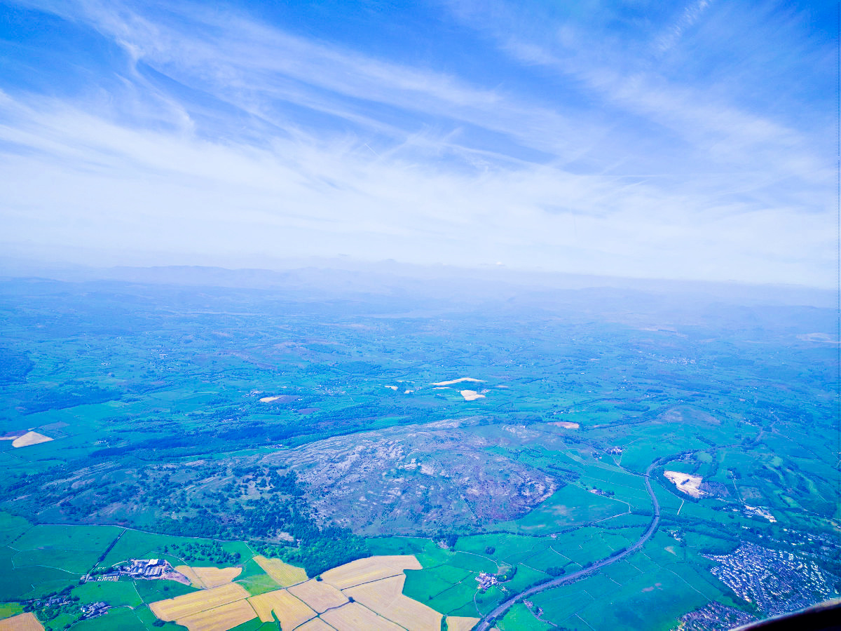
South Pennine moors
Pennine Hills
Pennine moors
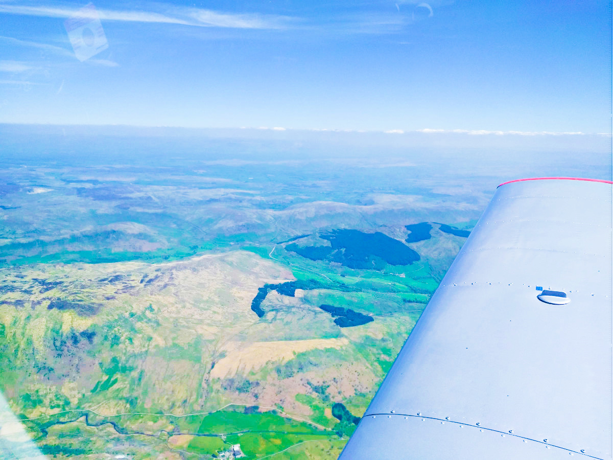
North Pennines
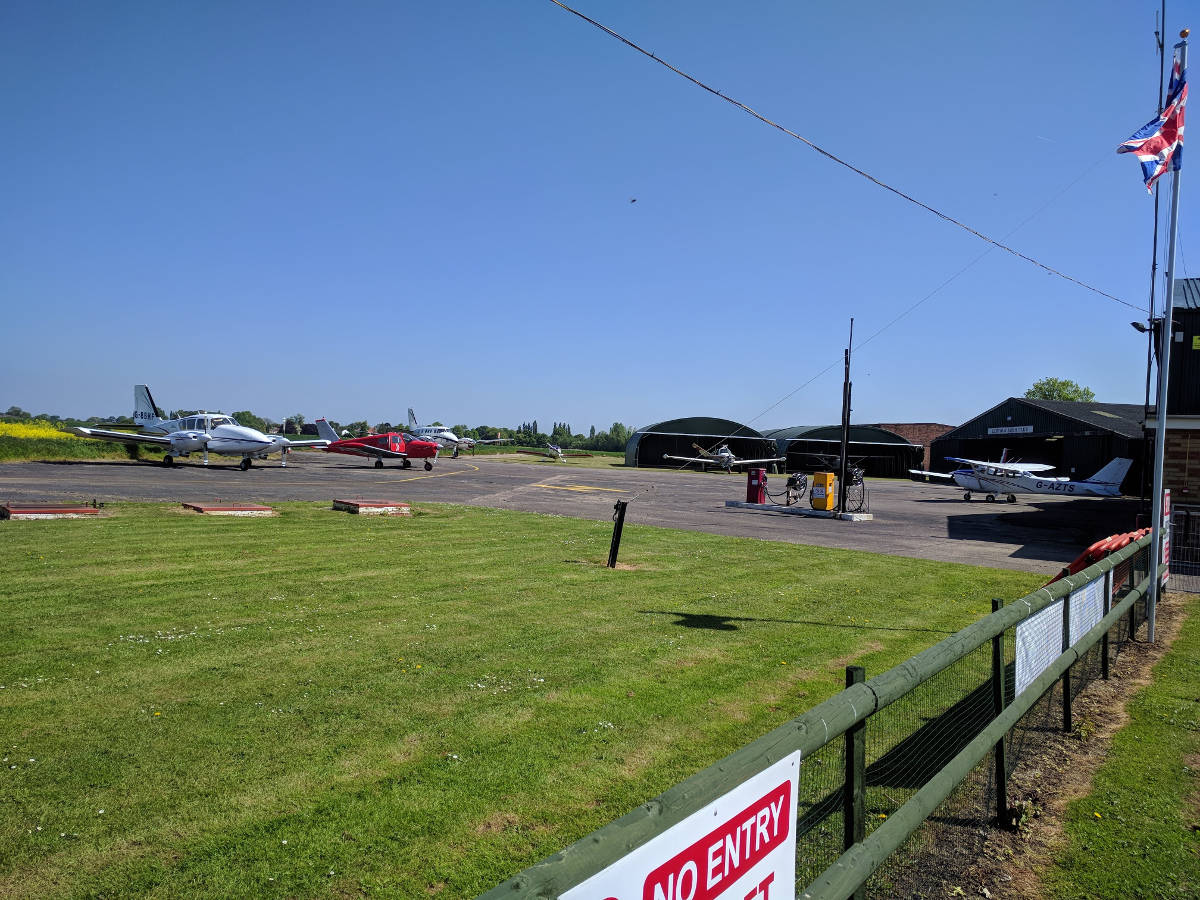
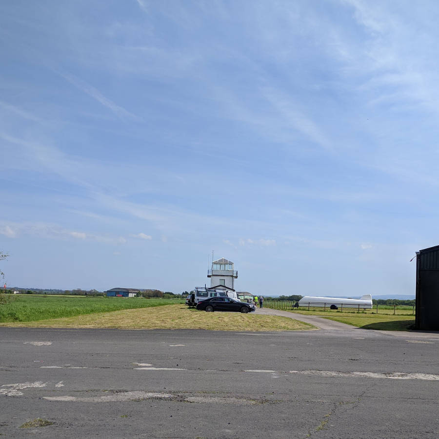
Kirkbride airfield
Kirkbride tower
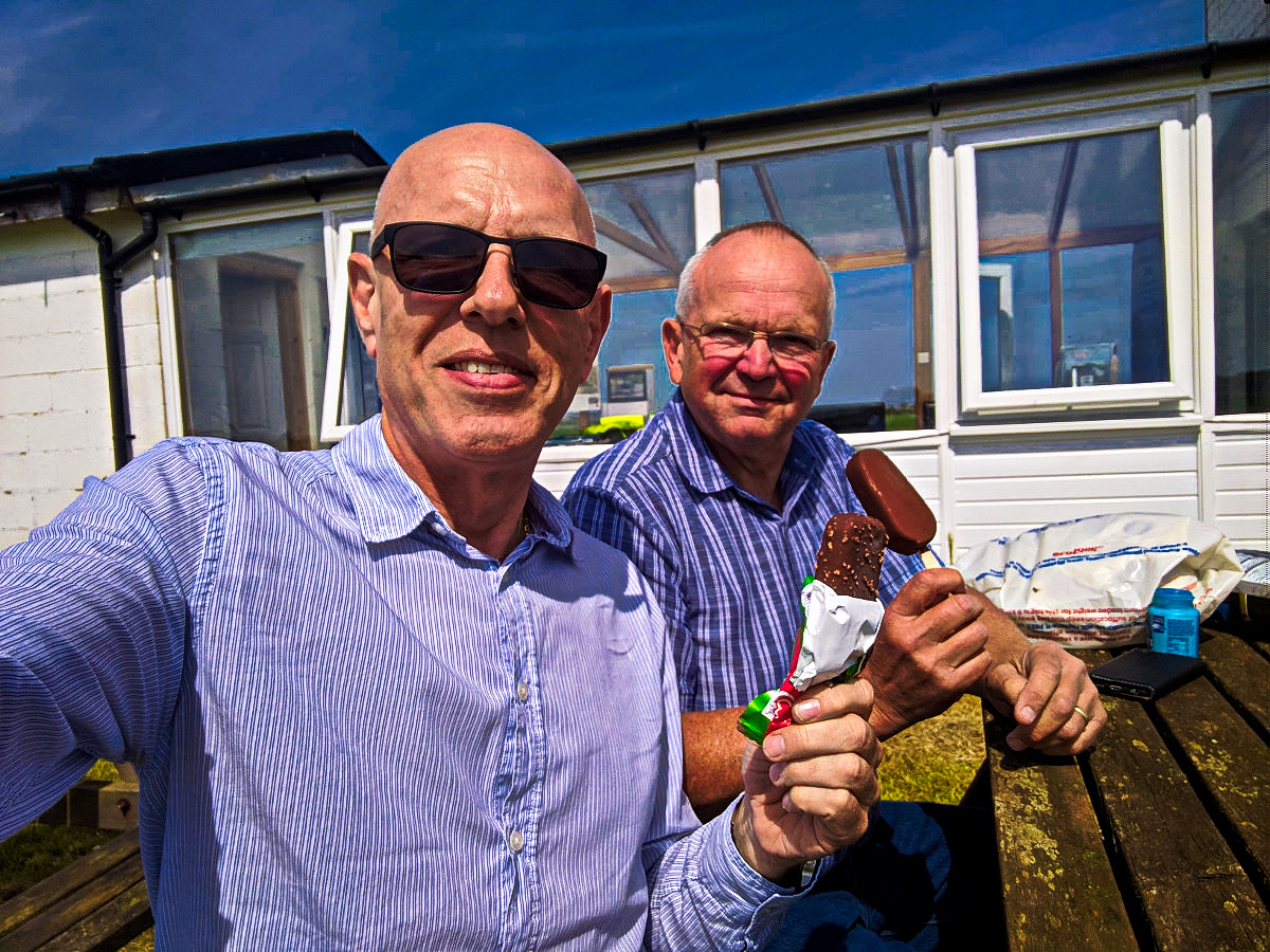
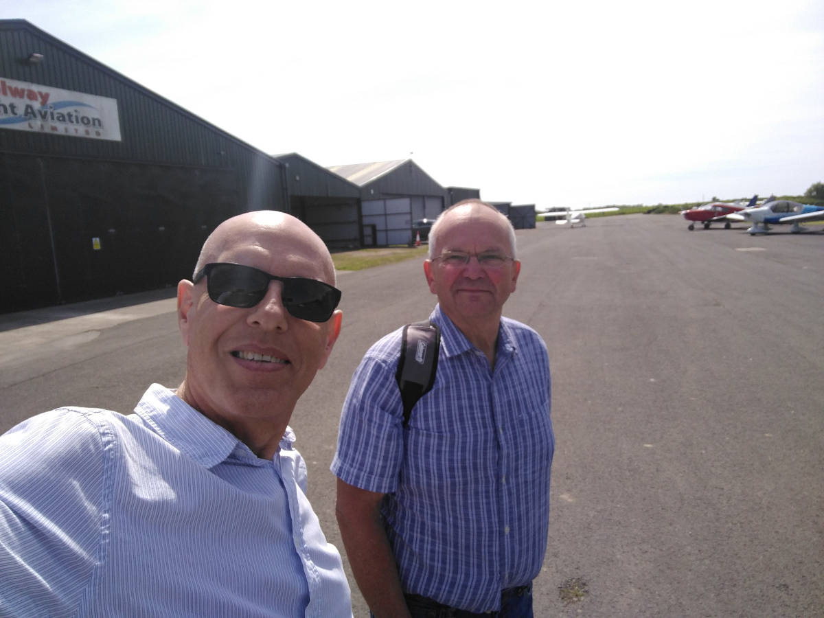
Picnic at Kirkbride